You are in: North America -> Mexico -> Historic Monuments Z... , and traditional search or Image Gallery will yield results of this site only
Historic Monuments Zone of Tlacotalpan
| Site number: | 862 |
|
| Type of site: | Cultural | |
| Date: | 16th century | |
| Date of Inscription: | 1998 | |
| Location: | North America, Mexico, State of Veracruz, Tlacotalpan Municipality | |
Up to 75 images are shown here. Click on each for more details or on Image Gallery for more images.
Six official UN languages:
Arabic,
Chinese,
English,
French,
Russian,
Spanish
Other languages: Bulgarian, Dutch, Japanese, Norwegian-bokmål
Other languages: Bulgarian, Dutch, Japanese, Norwegian-bokmål
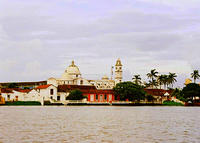
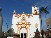
| Description: | The Spanish colonial river port, Tlacotalpan, sitting on the Gulf coast of Mexico was founded in the mid-16th century. Still retaining its wide streets, colourful and variously styled colonnaded houses, and many mature trees in the public open spaces and private gardens, the site has managed to preserve its original urban fabric to quite a significant extent. --WHMNet paraphrase from the description at WHC Site, where additional information is available. | |
| The municipality of Tlacotalpan is located in the eastern coastal region of the Mexican state of Veracruz, at 18°37′N, 95°40′W. The municipality's total surface area is 646.51 km², with a population (year 2000 figure) of some 15,000. Tlacotalpan borders with the municipalities of Alvarado to the north; José Azueta, Isla, and Santiago Tuxtla to the south; Lerdo de Tejada, Saltabarranca, and Santiago Tuxtla to the east; and Acula and Amatitlán to the west. The municipality is drained by the San Juan and Tuxpan rivers, which are tributaries of the larger Río Papaloapan. --Wikipedia. Text is available under the Creative Commons Attribution-ShareAlike License. | ||
| Source: | http://whc.unesco.org/en/list/862 | |
| Reference: | 1. UNESCO World Heritage Center, Site Page. | |


