You are in: Europe -> Netherlands -> Historic Area of Wil... , and traditional search or Image Gallery will yield results of this site only
Historic Area of Willemstad, Inner City and Harbour, Netherlands Antilles
| Site number: | 819 |
|
| Type of site: | Cultural | |
| Date: | 1634 | |
| Date of Inscription: | 1997 | |
| Location: | Europe, Netherlands, Willemstad, Island Territory of Curaçao, Netherlands Antilles | |
Up to 75 images are shown here. Click on each for more details or on Image Gallery for more images.
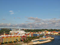
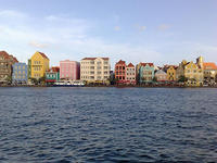
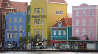
| Description: | In 1634 the Caribbean island of Curaçao saw the people of the Netherlands institute a trading settlement within its fine natural harbour. Over the following centuries the town continuously developed. Numerous distinctive historic districts compose the modern town; their individual architecture reveals not merely European urban-planning conceptions but also the styles of the Netherlands as well as the Spanish and Portuguese colonial towns with which Willemstad traded. --WHMNet paraphrase from the description at WHC Site, where additional information is available. | |
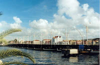
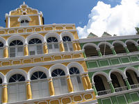
| Willemstad is the territorial capital of the Netherlands Antilles. Located at 12°7′N, 68°56′W, on the island of Curaçao, it has an estimated population of 125,000. The city consists of two quarters: Punda and Otrobanda. They are separated by the St. Anna bay, an inlet that leads into the large natural harbour called the 'Schottegat'. Punda was established in 1634, when the Dutch captured the island from Spain. The original name of Punda originally was de punt in Dutch. Otrobanda, which was founded in 1707, is the newer section of the city and is considered to be the cultural center of Willemstad. Its name originated from the Papiamentu otro banda, which means "the other side." Punda and Otrobanda are connected by Queen Emma Bridge, a long pontoon bridge. The city center of Willemstad boasts an array of colonial architecture that is influenced by Dutch styles. The city center, with its peculiar architecture and beautiful harbour entry, has been made a UNESCO world heritage site. --Wikipedia. Text is available under the Creative Commons Attribution-ShareAlike License. | ||
| Source: | http://whc.unesco.org/en/list/819 | |
| Reference: | 1. UNESCO World Heritage Center, Site Page. | |


