You are in: Europe -> Netherlands -> Defence Line of Amsterdam, and traditional search or Image Gallery will yield results of this site only
Defence Line of Amsterdam
| Site number: | 759 |
|
| Type of site: | Cultural | |
| Date: | 1883 - 1920 | |
| Date of Inscription: | 1996 | |
| Location: | Europe, Netherlands, Provinces of Noord-Holland (NH), Utrecht (UT) | |
Up to 75 images are shown here. Click on each for more details or on Image Gallery for more images.
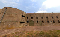
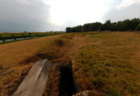
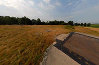
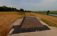
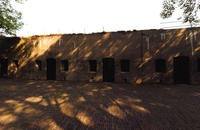
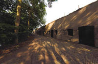
| Description: | This defence line, built between 1883 and 1920, extends 135 km around the city of Amsterdam; it is a sole example of a fortification rooted in the principle of controlling the waters. The people of the Netherlands have employed their expert understanding of hydraulic engineering for purposes of protection since the 16th century. A system of 45 armed forts sheltered the central area of the country, by working in concert with temporary flooding from polders and an elaborate canal and lock system. --WHMNet paraphrase from the description at WHC Site, where additional information is available. For 360 degree imaging of this site, click here. | |
| The UNESCO World Heritage Site known as the Defense line of Amsterdam (in Dutch named Stelling van Amsterdam) is a 135 km long ring of fortifications around Amsterdam, consisting of 42 forts located between 10 to 15 kilometers the centre, and lowlands that can easily be flooded in time of war. The flooding was designed to give a depth of about 30 cm, insufficient for boats to traverse. Any buildings within 1 km of the line had to be made of wood, so that they could be burnt and the obstruction removed. --Wikipedia. Text is available under the Creative Commons Attribution-ShareAlike License. For 360 degree imaging of this site, click here. | ||
| Source: | http://whc.unesco.org/en/list/759 | |
| Reference: | 1. UNESCO World Heritage Center, Site Page. | |


