You are in: South America -> Peru -> Lines and Geoglyphs ... , and traditional search or Image Gallery will yield results of this site only
Lines and Geoglyphs of Nasca and Pampas de Jumana
| Site number: | 700 |
|
| Type of site: | Cultural | |
| Date: | 500 BC-500 AD | |
| Date of Inscription: | 1994 | |
| Location: | South America, Peru, Libertadores / Wari Region | |
Up to 75 images are shown here. Click on each for more details or on Image Gallery for more images.
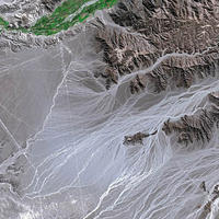
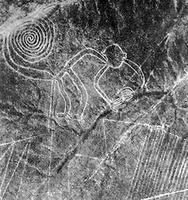
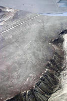
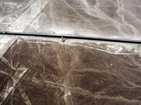
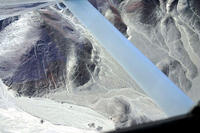
| Description: | The 450 sq. km geoglyphs of Nasca and the pampas of Jumana are situated in the arid Peruvian coastal plain, about 400 km south of Lima. These lines were scratched on the ground’s surface between 500 B.C. and A.D. 500; owing to their quantity, nature, size and continuity they are among archaeology's utmost enigmas. The geoglyphs portray living creatures, stylized plants and imaginary beings, as well as geometric figures stretching several kilometres in length; they are assumed to have had ritual astronomical meaning. --WHMNet paraphrase from the description at WHC Site, where additional information is available. | |
| Nazca (sometimes spelled Nasca) is the name of a system of valleys on the southern coast of Peru, and the name of the region's largest existing town. It is also the name applied to the Nazca culture that flourished in the area between 300 BC and AD 800. They were responsible for the Nazca Lines and the ceremonial city of Cahuachi; they also constructed an impressive system of underground aqueducts that still function today. The town of Nazca has recently been dumping its trash on the pampa, destroying some of the Nazca lines in the process. Under President Alberto Ken'ya Fujimori's rule, Nazca received money to turn the irrigation canals into tourist attractions. President Alejandro Toledo, whose partner is an anthropologist, stopped the aid. Since 1997, Nazca has been the location of a major Canadian gold mining operation. The people who were living on the land for the previous 2000 years did not have title to the land so they were displaced without legal problems. Since then there have been some attempts to legalize poor citizens' ownership of their land and their fixed property, in response to Hernando de Soto's research on the poor. --Wikipedia. Text is available under the Creative Commons Attribution-ShareAlike License. | ||
| Source: | http://whc.unesco.org/en/list/700 | |
| Source2: | http://whc.unesco.org/en/list/700/video | |
| Reference: | 1. UNESCO World Heritage Center, Site Page. | |


