You are in: Africa -> Madagascar -> Tsingy de Bemaraha S... , and traditional search or Image Gallery will yield results of this site only
Tsingy de Bemaraha Strict Nature Reserve
| Site number: | 494 |
|
| Type of site: | Natural | |
| Date: | - | |
| Date of Inscription: | 1990 | |
| Location: | Africa, Madagascar, Central West, in Fivondronana Antsalova and Faritany Mahajanga | |
Up to 75 images are shown here. Click on each for more details or on Image Gallery for more images.
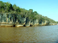
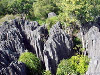
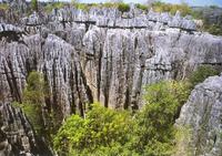
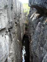
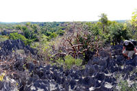
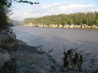
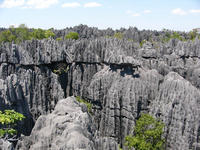
| Description: | Incised into impressive 'tsingy' peaks are the Tsingy de Bemaraha Strict Nature Reserve’s karstic landscapes and limestone uplands. The site encompasses a 'forest' of limestone needles, the spectacular canyon of the Manambolo river, and rolling hills and high peaks. Housing rare and endangered lemurs and birds are the site’s untouched forests, lakes and mangrove swamps. --WHMNet paraphrase from the description at WHC Site, where additional information is available. | |
| Tsingy de Bemaraha Strict Nature Reserve is a nature reserve located close to the western coast of Madagascar at 18°40′S 44°45′ECoordinates: 18°40′S 44°45′E. Because of the unique geography, preserved mangrove forests, and wild bird and lemur populations of the area, it was inscribed as a UNESCO World Heritage Site in 1990. Since that time the southern end of the protected area has been changed into a national park covering 666 km². The northern end of this protected area complex remains as a strict nature reserve (Réserve Naturelle Intégrale) covering 853 km². Tourists can access the national park by road from Morondava, a town 150km south of the park. Limited access is also possible from the town of Antsalova, which can be reached by plane from Antananarivo or Mahajanga. --Wikipedia. Text is available under the Creative Commons Attribution-ShareAlike License. | ||
| Source: | http://whc.unesco.org/en/list/494 | |
| Source2: | http://whc.unesco.org/en/list/494/video | |
| Reference: | 1. UNESCO World Heritage Center, Site Page. | |


