You are in: Oceania -> Australia -> Uluru-Kata Tjuta Nat... , and traditional search or Image Gallery will yield results of this site only
Uluru-Kata Tjuta National Park
| Site number: | 447 |
|
| Type of site: | Mixed | |
| Date: | Prehistoric | |
| Date of Inscription: | 1987,1994 | |
| Location: | Australia, Northern territory | |
Up to 75 images are shown here. Click on each for more details or on Image Gallery for more images.
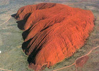
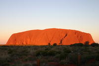
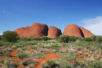
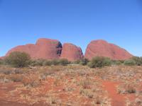
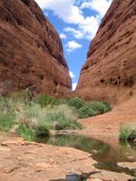
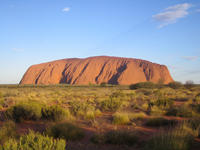
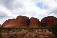
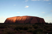
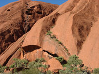
| Description: | The impressive geological formations of the park formerly known as Uluru (Ayers Rock - Mt. Olga) National Park, tower above the widespread red sandy plain of central Australia. The traditional belief system of one of the oldest human societies in the world incorporates the Uluru (an immense monolith) and Kata Tjuta, and the rock domes west of Uluru. The Anangu Aboriginal people were the traditional owners of Uluru-Kata Tjuta. --WHMNet paraphrase from the description at WHC Site, where additional information is available. | |
| Uluru-Kata Tjuta National Park is UNESCO World Heritage-listed in the Northern Territory of Australia. It is located 1431 kilometres south of Darwin by road and 440 kilometres south-west of Alice Springs along the Stuart and Lasseter Highways. The park covers 1326 square kilometres and includes the features it is named after - Uluru / Ayers Rock and, 40 kilometres to its west, Kata Tjuta / Mount Olga and is serviced by flights from most Australian capital cities. --Wikipedia. Text is available under the Creative Commons Attribution-ShareAlike License. | ||
| Source: | http://whc.unesco.org/en/list/447 | |
| Source2: | http://whc.unesco.org/en/list/447/video | |
| Reference: | 1. UNESCO World Heritage Center, Site Page. | |


