You are in: Asia -> India -> Red Fort Complex, and traditional search or Image Gallery will yield results of this site only
Red Fort Complex
| Site number: | 231 |
|
| Type of site: | Cultural | |
| Date: | 17th century | |
| Date of Inscription: | 2007 | |
| Location: | Asia, India, New Delhi State, Central District, New Delhi | |
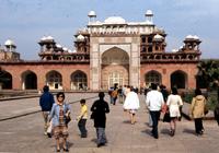
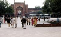
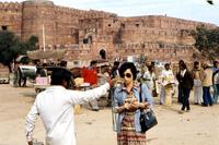
Up to 75 images are shown here. Click on each for more details or on Image Gallery for more images.
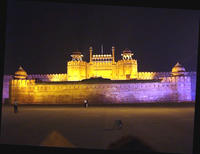
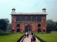
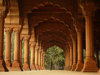
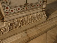
| Description: | The Red Fort Complex was constructed as the palace fort of Shahjahanabad (the new capital of India’s 5th Mughal Emperor, Shahjahan (1628-58)). It acquired its name from the red sandstone of its colossal surrounding walls. The adjoining older fort of the Salimgarh, built by Islam Shah Sur in 1546, also constitutes part of the Red Fort Complex. The private apartments are composed of a string of pavilions connected by a continuous waterway, known as the Nahr-i-Behisht, or the Stream of Paradise. The palace was designed according to the description of paradise in the Koran; a verse inscribed in the palace announces, ‘If there be a paradise on earth, it is here, it is here'. It is considered that the Red Fort represents the peak of Mughal creativity which reached a new level of elegance under the Emperor Shahjahan. Though the overall palaces planning is based on Islamic prototypes, each individual pavilion bears architectural elements characteristic of Mughal building, reflecting a fusion of Persian, Timurid and Hindu traditions. The innovative planning and architectural style of Red Fort, together with its garden design, strongly influenced later buildings and gardens in Rajasthan, Delhi, Agra and elsewhere. The importance of events that occurred there further enhances the monument's significance; the complex displays all chapters of Indian history through its internal composition, dating from the Mughal period to independence. --WHMNet paraphrase from the description at WHC Site, where additional information is available. | |
| The Red Fort was the palace for Mughal Emperor Shah Jahan's new capital, Shahjahanabad, the seventh Muslim city in the Delhi site. He moved his capital from Agra in a move designed to bring prestige to his reign, and to provide ample opportunity to apply his ambitious building schemes and interests. The Red Fort stands at the eastern edge of Shahjahanabad, and gets its name from the massive wall of red sandstone that defines its four sides. The wall is 1.5 miles (2.5 km) long, and varies in height from 60ft (16m) on the river side to 110 ft (33 m) towards the city. Measurements have shown that the plan was generated using a square grid of 82 m. General view of the complexThe fort lies along the Yamuna River, which fed the moats that surround most of the wall. The wall at its north-eastern corner is adjacent to an older fort, the Salimgarh Fort, a defense built by Islam Shah Suri in 1546. Construction on the Red Fort began in 1638 and was complete by 1648. However, it is believed that it is The Ancient City of Lal Kot which was captured by Shah Jahan since Lal Kot literally means Red(Lal) Fort(Kot). Lal Kot was the capital city of Prithviraj Chauhan in the late 12th century. On 11 March 1783, Sikhs entered Red Fort in Delhi and occupied the Diwan-i-Am. The city was essentially surrendered by the Mughal wazir in cahoots with his Sikh Allies. This task was carried out under the command of the Sardar Baghel Singh Dhaliwal of the Karor Singhia misl. The Red Fort was conceived as a whole, and subsequent modifications have not taken away from the overall unity of the scheme. In the 18th century, however, occupiers and looters damaged some sections of the palace. After the Sepoy Mutiny of 1857, when the Fort was used as a headquarters, the British army occupied and destroyed about four-fifths of its pavilions and gardens. A program for restoring the surviving parts of the fort began in 1903. The Delhi Fort also known as Lal Qil'ah, or Lal Qila, meaning the Red Fort, located in Delhi, India is a UNESCO World Heritage Site. --Wikipedia. Text is available under the Creative Commons Attribution-ShareAlike License. | ||
| Source: | http://whc.unesco.org/en/list/231 | |
| Reference: | 1. UNESCO World Heritage Center, Site Page. | |


