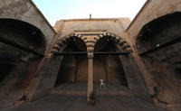
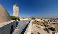
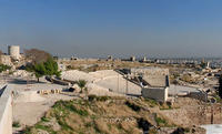
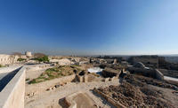
You are in: Middle East -> Syria -> Ancient City of Aleppo, and traditional search or Image Gallery will yield results of this site only
Ancient City of Aleppo
| Site number: | 21 |
|
| Type of site: | Heritage in danger | |
| Date: | 2nd mill.BC | |
| Date of Inscription: | 1986 | |
| Location: | Middle East, Syrian Arab Republic, Aleppo | |
Up to 75 images are shown here. Click on each for more details or on Image Gallery for more images.
Six official UN languages:
Arabic,
Chinese,
English,
French,
Russian,
Spanish
Other languages: Basque, Bulgarian, Catalan, Czech, Danish, Dutch, Esperanto, Farsi, Finnish, Galician, German, Hebrew, Hungarian, Italian, Japanese, Lithuanian, Norwegian-bokmål, Polish, Portuguese, Slovenian, Swedish, Turkish, Urdu
Other languages: Basque, Bulgarian, Catalan, Czech, Danish, Dutch, Esperanto, Farsi, Finnish, Galician, German, Hebrew, Hungarian, Italian, Japanese, Lithuanian, Norwegian-bokmål, Polish, Portuguese, Slovenian, Swedish, Turkish, Urdu
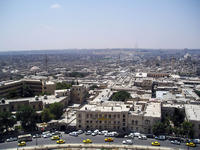
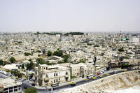
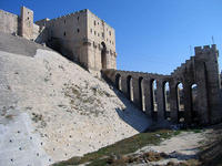
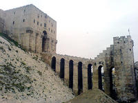
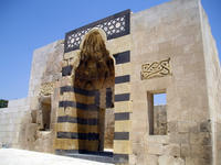
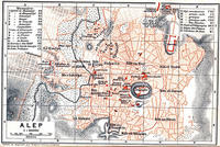
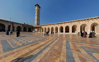
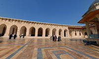
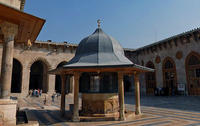
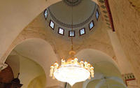
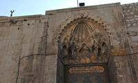
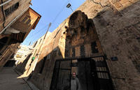
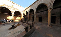
| Description: | Aleppo, found at the intersection of several trade routes since the 2nd millennium B.C., was successively ruled by the Hittites, Assyrians, Arabs, Mongols, Mamelukes and Ottomans. The shaping ingredients of the city's cohesive, unique urban fabric are a range of 17th-century madrasas, palaces, caravanserais and hammams, the 13th-century citadel, and a 12th-century Great Mosque; at the present time the city is threatened by overpopulation. --WHMNet paraphrase from the description at WHC Site, where additional information is available. For 360 degree imaging of this site, click here. | |
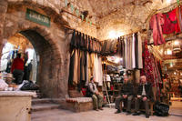
| Aleppo is a city in northern Syria, capital of the Aleppo Governorate. The city has a population of around 3,780,000, making it the second largest city in Syria after Damascus. Aleppo is one of the oldest inhabited cities in history. It knew human settlement since the eleventh millennium B.C. through the residential houses which were discovered in Al-Qaramel Hill. It was known to antiquity as Khalpe, Khalibon, to the Greeks as Beroea (Veroea), and to the Turks as Halep; during the French Mandate, Alep was used. It occupies a strategic trading point midway between the sea and the Euphrates; initially, it was built on a small group of hills in a wide fertile valley on both sides of the river Quweiq (قويق). The province or governorate extends around the city for over 16,000 km² and has around 3.7 million inhabitants. The main role of the city was as a trading place, as it sat at the crossroads of two trade routes and mediated the trade from India, the Tigris and Euphrates regions and the route coming from Damascus in the South, which traced the base of the mountains rather than the rugged seacoast. Although trade was often directed away from the city for political reasons, it continued to thrive until the Europeans began to use the Cape route to India and later to utilise the route through Egypt to the Red Sea. Since then the city has declined and its chief exports now are the agricultural products of the surrounding region, mainly wheat and cotton, pistachios, olives and sheep. --Wikipedia. Text is available under the Creative Commons Attribution-ShareAlike License. For 360 degree imaging of this site, click here. | ||
| Source: | http://whc.unesco.org/en/list/21 | |
| Reference: | 1. UNESCO World Heritage Center, Site Page. | |


