You are in: Africa -> Algeria -> Tassili n'Ajjer, and traditional search or Image Gallery will yield results of this site only
Tassili n'Ajjer
| Site number: | 179 |
|
| Type of site: | Mixed | |
| Date: | Prehistoric | |
| Date of Inscription: | 1982 | |
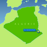
| Location: | Africa, Algeria, Wilayas (provinces) of Illizi and Tamanghasse | |
Up to 75 images are shown here. Click on each for more details or on Image Gallery for more images.
Six official UN languages:
Arabic,
Chinese,
English,
French,
Russian,
Spanish
Other languages: Bulgarian, Czech, Dutch, Finnish, German, Hungarian, Italian, Japanese, Lithuanian, Polish, Portuguese, Swedish
Other languages: Bulgarian, Czech, Dutch, Finnish, German, Hungarian, Italian, Japanese, Lithuanian, Polish, Portuguese, Swedish
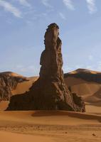
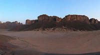
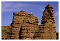
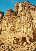
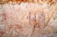
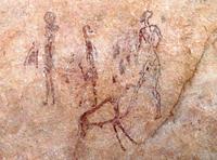
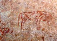
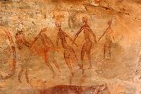
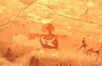
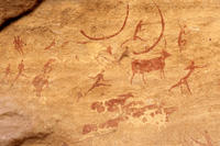
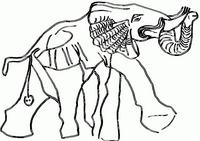
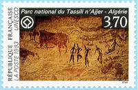
| Description: | One of the world's most important collections of prehistoric cave art is located within a lunar landscape of great terrestrial significance. No less than 15,000 drawings and engravings depict the patterns of animal migrations, climate changes, and the transformation of humanistic life on the edge of the Sahara between 6000 BCE and the 1st centuries CE. The geological construction formed from eroded sandstone, the 'Forests of rock', adds another striking point of interest to this already extensive site. --WHMNet paraphrase from the description at WHC Site, where additional information is available. | |
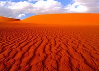
| The Tassili n'Ajjer (It is a name from the Berber language and its English name is: "Tassili Plateau") is a mountain range in the Sahara desert in southeast Algeria, North Africa. Much of the range, including the cypresses and archaeological sites, is protected in a National park, Biosphere Reserve and World Heritage Site, named the Tassili n'Ajjer National Park. The range is composed largely of sandstone. Erosion in the area has resulted in nearly 300 natural rock arches being formed, along with many other spectacular landforms. Because of the altitude and the water-holding properties of the sandstone, the vegetation is somewhat richer than the surrounding desert; it includes a very scattered woodland of the endangered endemic species Saharan Cypress and Saharan Myrtle in the higher eastern half of the range. The ecology of the Tassili n'Ajjer is more fully described in the article West Saharan montane xeric woodlands, the ecoregion to which this area belongs. The literal English translation of "Tassili n'Ajjer" is 'Plateau of the rivers'; indicating a time when the climate was repeatedly far more wet than today. The range is also noted for its prehistoric rock paintings and other ancient archaeological sites, dating from neolithic times when the local climate was much moister, with savannah rather than desert. The art depicts herds of cattle, large wild animals including crocodiles, and human activities such as hunting and dancing. The art has strong stylistic links to the pre-Nguni Art of South Africa and the region, executed in caves by the San Peoples before the year 1200 CE. --Wikipedia. Text is available under the Creative Commons Attribution-ShareAlike License. | ||
| Source: | http://whc.unesco.org/en/list/179 | |
| Source2: | http://whc.unesco.org/en/list/179/video | |
| Reference: | 1. UNESCO World Heritage Center, Site Page. | |


