You are in: Africa -> Eritrea -> Asmara: a Modernist ... , and traditional search or Image Gallery will yield results of this site only
Asmara: a Modernist City of Africa
| Site number: | 1550 |
|
| Type of site: | Cultural | |
| Date: | 19-20th centuries | |
| Date of Inscription: | 2017 | |
| Location: | Africa, Eritrea | |
Up to 75 images are shown here. Click on each for more details or on Image Gallery for more images.
Six official UN languages:
Arabic,
Chinese,
English,
French,
Russian,
Spanish
Other languages: Afrikaans, Belarusian, Brezhoneg (Celtic), Catalan, Danish, Esperanto, Ethiopin, Galician, Georgian, Greek, Hebrew, Italian, Japanese, Norwegian-nynorsk, Panjabi, Poland, Portuguese, Romanian, Swedish, Tamil, Thai, Turkish, Vietnamese, Welsh
Other languages: Afrikaans, Belarusian, Brezhoneg (Celtic), Catalan, Danish, Esperanto, Ethiopin, Galician, Georgian, Greek, Hebrew, Italian, Japanese, Norwegian-nynorsk, Panjabi, Poland, Portuguese, Romanian, Swedish, Tamil, Thai, Turkish, Vietnamese, Welsh
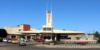
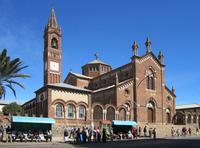
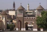
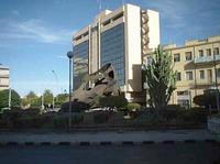
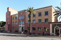
| Description: | Located at over 2000 metres above sea level, the capital of Eritrea developed from the 1890’s onwards as a military outpost for the Italian colonial power. After 1935, Asmara underwent a large scale programme of construction applying the Italian rationalist idiom of the time to governmental edifices, residential and commercial buildings, churches, mosques, synagogues, cinemas, hotels, etc. The property encompasses the area of the city that resulted from various phases of planning between 1893 and 1941, as well as the indigenous unplanned neighbourhoods of Arbate Asmera and Abbashawel. It is an exceptional example of early modernist urbanism at the beginning of the 20th century and its application in an African context. --WHMNet's description is from WHC Site, where additional information is available. CC BY-SA 3.0. | |
| Asmara known locally as Asmera (meaning "They [feminine plural] made them unite" in Tigrinya), is the capital city and largest settlement in Eritrea. Home to a population of just over 800,000 inhabitants, it sits at an elevation of 2,325 metres (7,628 ft). The city is located at the tip of an escarpment that is both the northwestern edge of the Eritrean highlands and the Great Rift Valley in neighbouring Ethiopia. In 2017, the city was declared as a UNESCO World Heritage Site. Asmara is situated in Eritrea's central Maekel Region. It is known for its well-preserved colonial Italian modernist architecture.[3] The city is divided into thirteen districts or administrative areas: Acria, Abbashaul, Edaga Hamus, Arbaete Asmara, Mai Temenai, Paradizo, Sembel, Godaif, Maekel Ketema or Downtown, Tiravolo, Gejeret, Tsetserat and Gheza Banda. --Wikipedia. Text is available under the Creative Commons Attribution-ShareAlike License. CC BY-SA 3.0. | ||
| Source: | http://whc.unesco.org/en/list/1550. Description is available under license CC-BY-SA IGO 3.0 | |
| Source2: | Wikipedia (http://wikipedia.com). CC BY-SA 3.0. | |
| Reference: | 1. UNESCO World Heritage Center (http://whc.unesco.org/en/list/1550). 2. Wikipedia. CC BY-SA 3.0. | |


