You are in: North America -> Mexico -> Protective town of S... , and traditional search or Image Gallery will yield results of this site only
Protective town of San Miguel and the Sanctuary of Jesús Nazareno de Atotonilco
| Site number: | 1274 |
|
| Type of site: | Cultural | |
| Date: | 16th century | |
| Date of Inscription: | 2008 | |
| Location: | North America, Mexico, Guanajuato, municipality of Allende | |
Up to 75 images are shown here. Click on each for more details or on Image Gallery for more images.
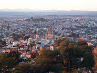
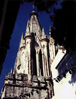
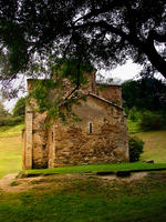
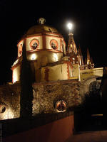
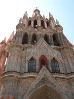
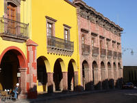
| Description: | Initially the fortified town was established to defend the Royal Route inland in the 16th century. When a number of its exceptional religious and civic buildings were built in the style of the Mexican Baroque in the 18th century San Miguel saw its cultural culmination. A number of these buildings are works of genius within the style that developed during the transition from Baroque to neoclassical. 14 km outside of the town lies the Jesuit sanctuary, which also dates back to the 18th century; it is revered among New Spain’s finest examples of Baroque art and architecture. The sanctuary boasts a sizeable church, and a couple smaller chapels, all garlanded by Rodriguez Juárez’s oil paintings as well as mural paintings by Miguel Antonio Martínez de Pocasangre. Due to its location, San Miguel de Allende functioned as a melting pot for Spaniards, Creoles and Amerindians to exchange cultural influences whilst the Sanctuary of Jesús Nazareno de Atotonilco housed the unparalleled exchange between European and Latin American cultures. The site’s architecture and interior adornments bear witness to the influence of Saint Ignacio de Loyola’s doctrine. --WHMNet paraphrase from the description at WHC Site, where additional information is available. | |
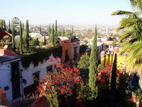
| San Miguel de Allende is the seat of the municipality of Allende, Guanajuato, Mexico, a historic town founded in 1542 that has become an attractive tourist destination for wealthy Mexico City residents and has a large American and Canadian expatriate community composed primarily of retirees. --Wikipedia. Text is available under the Creative Commons Attribution-ShareAlike License. | ||
| Source: | http://whc.unesco.org/en/list/1274 | |
| Reference: | 1. UNESCO World Heritage Center, Site Page. | |


