You are in: Europe -> Montenegro -> Natural and Culturo-... , and traditional search or Image Gallery will yield results of this site only
Natural and Culturo-Historical Region of Kotor
| Site number: | 125 |
|
| Type of site: | Cultural | |
| Date: | Middle Ages | |
| Date of Inscription: | 1979 | |
| Location: | Europe, Montenegro, City of Kotor and surrounding territory, Boka Kotorska | |
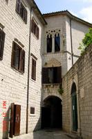
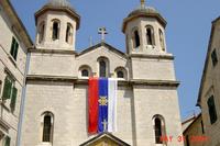
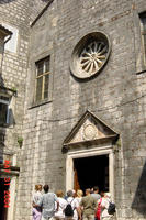
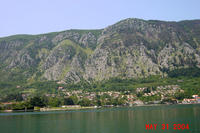
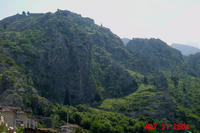
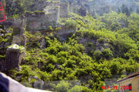
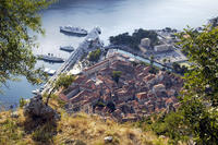
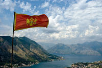
Up to 75 images are shown here. Click on each for more details or on Image Gallery for more images.
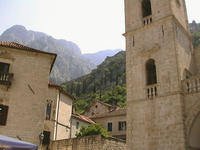
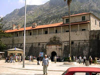
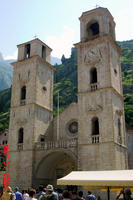
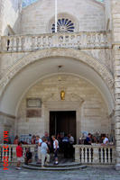
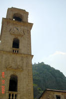
| Description: | This natural harbour sits on the Adriatic coast in Montenegro; it used to be a key artistic and commercial centre in the Middle Ages, when it had its own famed masonry and iconography schools. The town has been remarkably restored (largely with UNESCO's help) after a severe earthquake hit it in 1979 and seriously damaged a great number of the monuments among them four Romanesque churches and the town walls. --WHMNet paraphrase from the description at WHC Site, where additional information is available. | |
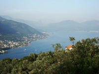
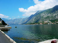
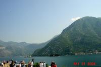
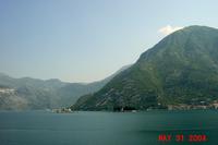
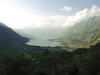
| Kotor (Serbian Cyrillic: Котор; Italian, Venetian & Dalmatian: Cattaro; Latin: Acruvium) is a coastal town in Montenegro. It is located in a most secluded part of Gulf of Kotor. The town has a population of 13,510, and is the administrative center of the Kotor municipality. The old Mediterranean port of Kotor, surrounded by an impressive city wall built by House of Nemanjić, is very well preserved and protected by UNESCO. Between 1420 and 1797, Kotor and its surroundings were under the rule of the Republic of Venice and the Venetian influence remains dominant among the architectural influences. The Gulf of Kotor (Boka Kotorska), one of the most indented parts of the Adriatic Sea is sometimes called the southern-most fjord in Europe (though it is actually a submerged river canyon). With the nearly overhanging limestone cliffs of Orjen and Lovćen one of the great Mediterranean landscapes is created. In recent years, Kotor has seen a steady increase in tourists attracted by both the natural beauty of the Gulf of Kotor and the old town of Kotor itself. --Wikipedia. Text is available under the Creative Commons Attribution-ShareAlike License. | ||
| Source: | http://whc.unesco.org/en/list/125 | |
| Reference: | 1. UNESCO World Heritage Center, Site Page. | |


