You are in: Asia -> Malaysia -> Gunung Mulu National Park, and traditional search or Image Gallery will yield results of this site only
Gunung Mulu National Park
| Site number: | 1013 |
|
| Type of site: | Natural | |
| Date: | - | |
| Date of Inscription: | 2000 | |
| Location: | Asia, Malaysia, northern Sarawak, island of Borneo | |
Up to 75 images are shown here. Click on each for more details or on Image Gallery for more images.
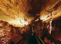
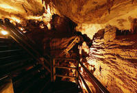
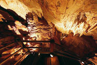
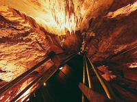
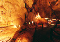
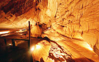
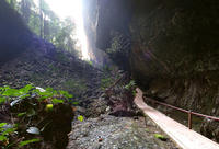
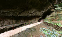
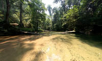
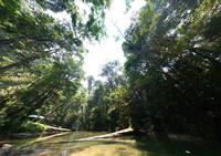
| Description: | Gunung Mulu National Park, located on the island of Borneo in the State of Sarawak, is the world’s most studied tropical karst area, equally significant for its high biodiversity and for its karst features. A 2,377 m-high sandstone pinnacle, the Gunung Mulu, dominates the park. With its seventeen zones, the 52,864-ha park shows evidence of some 3,500 species of vascular plants. Exceptionally rich in palm species, the site boasts 109 species in twenty noted genera. It is home to millions of cave swiftlets and bats; its 295 km of explored caves offer a stunning sight. The Sarawak Chamber (600m x 415m and 80m high) is the world’s largest known cave chamber. --WHMNet paraphrase from the description at WHC Site, where additional information is available. For 360 degree imaging of this site, click here. | |
| Gunung Mulu National Park in Sarawak, Malaysian Borneo, on the border with Brunei, is a World Heritage Site that encompasses incredible caves and karst formations in a mountainous equatorial rainforest setting. The park is famous for its caves and the expeditions that have been mounted to explore them and their surrounding rainforest, most notably the Royal Geographic Expedition of 1977 - 1978, which saw over 100 scientists in the field for 15 months. --Wikipedia. Text is available under the Creative Commons Attribution-ShareAlike License. For 360 degree imaging of this site, click here. | ||
| Source: | http://whc.unesco.org/en/list/1013 | |
| Source2: | http://whc.unesco.org/en/list/1013/video | |
| Reference: | 1. UNESCO World Heritage Center, Site Page. | |


