You are in: Africa -> Ethiopia -> Harar Jugol, the For... , and traditional search or Image Gallery will yield results of this site only
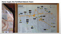
Harar Jugol, the Fortified Historical Town
| Site number: | 1189 |
|
| Type of site: | Cultural | |
| Date: | 13-16 Centuries | |
| Date of Inscription: | 2006 | |
| Location: | Africa, Ethiopia, Harari Region | |
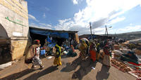
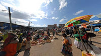
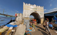
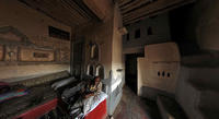
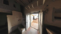
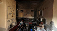
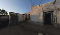
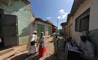
Up to 75 images are shown here. Click on each for more details or on Image Gallery for more images.
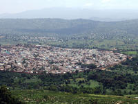
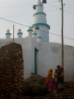
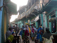
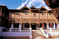
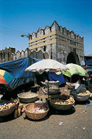
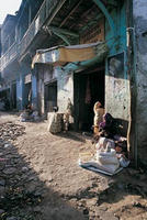
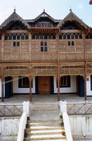
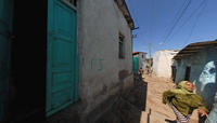
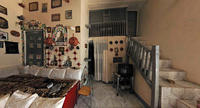
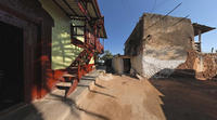
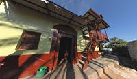
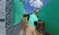
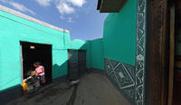
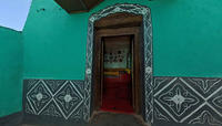
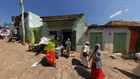
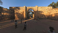
| Description: | Located in the eastern Ethiopia, the fortified historic town of Harar lies on a plateau with cavernous gorges enclosed by deserts and a savannah. This sacred Muslim city’s surrounding walls were built between the 13th and 16th centuries. Harar Jugol, commonly referred to as the fourth holiest city of Islam, boasts 82 mosques (three of which date back to the 10th century) as well as 102 shrines. The majority of the site’s residential dwellings are traditional townhouses that consist of a ground floor with three rooms and service areas in the courtyard. The site also includes simple rectangular two-storied houses holding a veranda with a view over either a street or courtyard; these are called the Indian Houses, as they were built by Indian merchants who came to Harar after 1887. The combination of elements from these two mentioned varieties gave birth to a third type of building. All the town’s houses with their outstanding interior design represent the most spectacular part of Harar's cultural heritage, though the Harari people are also acknowledged for the quality of their handicrafts (consisting of weaving, basket making and book-binding). The shape of the local architectural is typical, specific and original, as it differs from the domestic layout more typically known in Muslim countries, and it is a one-of-its-kind within Ethiopia. In the 16th century Harar was set up in the urban form it holds presently; an Islamic town distinguished by a maze of narrow alleyways and forbidding facades. Harar was the capital of the Harari Kingdom from 1520 to 1568, and was known as a centre of trade and Islamic learning from the late 16th century to the 19th century. During the 17th century the site became an independent emirate, but was then occupied by Egypt for ten years; in 1887 it became part of Ethiopia. Harar boasts a particular character and even uniqueness through its specific building types and urban layout, the development of which was largely impacted by African and Islamic traditions. --WHMNet paraphrase from the description at WHC Site, where additional information is available. For 360 degree imaging of this site, click here. | |
| Harar (sometimes spelled Harrar, Hārer, or Harer) is an eastern city in Ethiopia, and the capital of the modern Harari ethno-political division (or kilil) of Ethiopia. Located on a hilltop, in the eastern extension of the Ethiopian highlands about five hundred kilometers from Addis Ababa with an elevation of 1885 meters, this city has a latitude and longitude of 9°19′N, 42°7′E. Based on figures from the Central Statistical Agency in 2005, Harar has an estimated total population of 122,000, of whom 60,000 were males and 62,000 were females. According to the census of 1994, on which this estimate is based, the city has a population of 76,378. For centuries, Harar has been a major commercial center, linked by the trade routes with the rest of Ethiopia, the entire Horn of Africa, the Arabian Peninsula, and, through its ports, the outside world. Harar Jugol has been included in the World Heritage List in 2004 by UNESCO in recognition of its cultural heritage. It is considered "the fourth holiest city of Islam" with 82 mosques, three of which date from the 10th century, and 102 shrines. Harar is also famous for its distinctive, natural processed coffees which bear the same name. --Wikipedia. Text is available under the Creative Commons Attribution-ShareAlike License. For 360 degree imaging of this site, click here. | ||
| Source: | http://whc.unesco.org/en/list/1189 | |
| Reference: | 1. UNESCO World Heritage Center, Site Page. | |


