You are in: Europe -> Macedonia -> Natural and Cultural... , and traditional search or Image Gallery will yield results of this site only
Natural and Cultural Heritage of the Ohrid region
| Site number: | 99 |
|
| Type of site: | Mixed | |
| Date: | 7th-19th cent. | |
| Date of Inscription: | 1979, 1980 | |
| Location: | Europe, the Former Yugoslav Republic of Macedonia, Ohrid (municipality) | |
Up to 75 images are shown here. Click on each for more details or on Image Gallery for more images.
Six official UN languages:
Arabic,
Chinese,
English,
French,
Russian,
Spanish
Other languages: Bulgarian, Czech, Danish, Dutch, Estonian, Farsi, Finnish, German, Greek, Hebrew, Italian, Japanese, Macedonian, Norwegian-bokmål, Norwegian-nynorsk, Polish, Swedish, Turkish, Upper Sorbian
Other languages: Bulgarian, Czech, Danish, Dutch, Estonian, Farsi, Finnish, German, Greek, Hebrew, Italian, Japanese, Macedonian, Norwegian-bokmål, Norwegian-nynorsk, Polish, Swedish, Turkish, Upper Sorbian
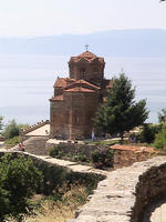
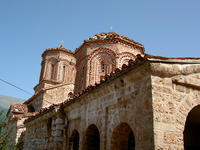
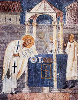
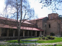
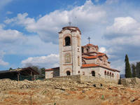
| Description: | The town of Ohrid, located on the shores of Lake Ohrid, is one of Europe’s oldest human settlements. For the most part it was constructed between the 7th and 19th centuries; it houses St Pantelejmon, the very oldest Slav monastery, and over 800 Byzantine-style icons (from the 11th to the late 14th century). Subsequent to those of the Tretiakov Gallery (Moscow), this is regarded as the world’s most significant collection of icons. --WHMNet paraphrase from the description at WHC Site, where additional information is available. | |
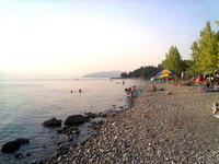
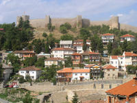
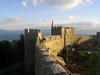
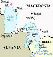
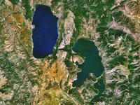
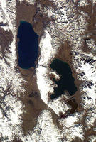
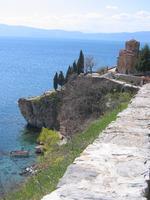
| Ohrid, is a city on the eastern shore of Lake Ohrid in the Republic of Macedonia. It has about 42,000 inhabitants, making it the seventh largest city in the country. The city is the seat of Ohrid municipality. Ohrid is notable for having once had 365 churches, one for each day of the year, and is referred to as the Macedonian Jerusalem. The city is rich in picturesque houses and monuments, and tourism is predominant. It is located southwest of Skopje, west of Resen and Bitola, and east of Elbasan and Tirana in Albania.In 1980, Ohrid and Lake Ohrid were accepted as a World Heritage Site by UNESCO. The existence of the ancient town of Lychnidos is linked to the Greek myth of the Phoenician prince Cadmus who, banished from Thebes, in Boetia, fled to the Enchelei and founded the town of Lychnidos on the shores of Lake Ohrid.The Lake of Ohrid, the ancient Lacus Lychnitis, whose blue and exceedingly transparent waters in remote antiquity gave to the lake its Greek name; it was still called so occasionally in the Middle Ages. It was located along the Via Egnatia, which connected the Adriatic port Dyrrachion (present-day Durrës) with Byzantium, who probably had a fortress on the hill even before the fortress of Samuil was erected.Archaeological excavations (e.g., the Polyconhous Basilica from 5th century) prove early adaptation of Christianity in the area. Bishops from Lychnidos participated in multiple ecumenical councils. --Wikipedia. Text is available under the Creative Commons Attribution-ShareAlike License. | ||
| Source: | http://whc.unesco.org/en/list/99 | |
| Reference: | 1. UNESCO World Heritage Center, Site Page. | |


