You are in: Europe -> Hungary -> Caves of Aggtelek Ka... , and traditional search or Image Gallery will yield results of this site only
Caves of Aggtelek Karst and Slovak Karst
| Site number: | 725 |
|
| Type of site: | Natural | |
| Date: | - | |
| Date of Inscription: | 1995, 2000 | |
| Location: | Europe, Hungary and Slovakia, County of Borsod-Abaúj-Zemplén (HU) | |
Up to 75 images are shown here. Click on each for more details or on Image Gallery for more images.
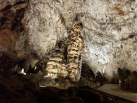
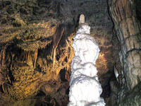
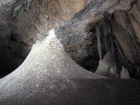
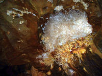
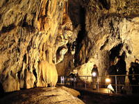
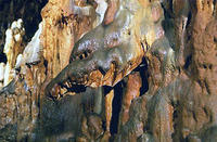
| Description: | The variety of formations and their concentration in a restricted area indicate that the 712 currently identified caves compose a typical temperate-zone karstic system. The site’s demonstration of an exceptionally rare combination of tropical and glacial climatic effects prompts the site’s use for the study of geological historycovering tens of millions of years. --WHMNet paraphrase from the description at WHC Site, where additional information is available. | |
| Hortobágy is a village in Hajdú-Bihar county in Hungary. It is also a name of a part of Alföld (Great Plain) in eastern Hungary, near Debrecen. It was designated as a national park in 1973 (the first national park in Hungary), and elected among the World Heritage sites in 1999. The Hortobágy is Hungary's largest protected area, and the biggest grassland that remained in Central Europe. Its area is over 800 km². Hortobágy is similar to a steppe, a grassy plain with cattle, sheep, oxen, horses, tended by herdsmen, and it provides habitat for various different species (342 bird species have been registered to appear). Its emblematic sight is the Nine-holed Bridge, and this is the place for traditional sweep wells. Visitors might find mirage as well here. Up to now it was known that this alkaline steppe was formed by cutting huge forests in the Middle Ages and then the river control of the Tisza finished this process with changing the soil's structure and pH. However, Hortobágy is much older, alkalinization started ten thousand years ago, when the Tisza found its way through the Great Hungarian Plain and "decapitated" the little rivers sourcing in the Northern Mountains. The real formation was finished by grazing animals, mammoths and wild horses in the Ice Age, and domesticated animals later. --Wikipedia. Text is available under the Creative Commons Attribution-ShareAlike License. | ||
| Source: | http://whc.unesco.org/en/list/725 | |
| Reference: | 1. UNESCO World Heritage Center, Site Page. | |


