You are in: South America -> Venezuela -> Canaima National Park, and traditional search or Image Gallery will yield results of this site only
Canaima National Park
| Site number: | 701 |
|
| Type of site: | Natural | |
| Date: | - | |
| Date of Inscription: | 1994 | |
| Location: | South America, Venezuela (Bolivarian Republic of), Bolivar State | |
Up to 75 images are shown here. Click on each for more details or on Image Gallery for more images.
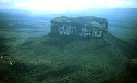
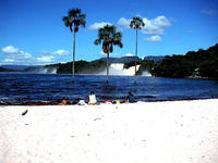
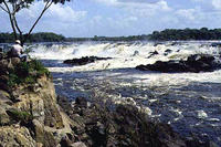
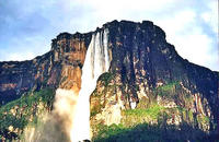
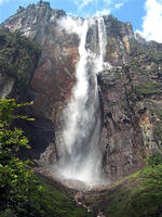
| Description: | The immense 3 million ha Canaima National Park spreads itself along the border between Guyana and Brazil in south-eastern Venezuela. Table mountain (tepui) formations envelop abound 65% of the park. The tepuis form an exclusive biogeological entity and hold a great geological interest. The site is a spectacular landscape of sheer cliffs and waterfalls, among them the world's highest (rising 1,000 m). --WHMNet paraphrase from the description at WHC Site, where additional information is available. | |
| Canaima National Park (Spanish: Parque Nacional Canaima) is a 30,000 km² park in south-eastern Venezuela that borders Brazil and Guyana. It is located in the state of Bolívar, and roughly occupies the same area as the Gran Sabana region. The park was established on the 12 June 1962. It is the second largest park in the country, after Parima-Tapirapecó and is the size of Belgium or Maryland. It became a UNESCO World Heritage Site in 1994 because of the tepuis (table-top mountains) that are characteristic of this area. The most famous tepuis in the park are Mount Roraima, the tallest and easiest to climb, and Auyantepui, from which fall the Angel Falls, the highest waterfall in the world. The tepuis are sandstone and date back to a time when South America and Africa were part of a super-continent. The park is home to indigenous Pemon Indians, part of the Carib linguistic group. The Pemon have an intimate relationship with the tepuis, and believe they are the home of the 'mawari' spirits. The park is relatively remote, with only a few roads connecting towns. Most transport within the park is done by light plane from the airstrips built by various Capuchin missions, or by foot and canoe. --Wikipedia. Text is available under the Creative Commons Attribution-ShareAlike License. | ||
| Source: | http://whc.unesco.org/en/list/701 | |
| Source2: | http://whc.unesco.org/en/list/701/video | |
| Reference: | 1. UNESCO World Heritage Center, Site Page. | |


