You are in: Europe -> United Kingdom. Scotland -> The English Lake District, and traditional search or Image Gallery will yield results of this site only
The English Lake District
| Site number: | 422 |
|
| Type of site: | Cultural | |
| Date: | Ice age | |
| Date of Inscription: | 2017 | |
| Location: | Europe, UK, Ireland | |
Up to 75 images are shown here. Click on each for more details or on Image Gallery for more images.
Six official UN languages:
Chinese,
English,
French,
Russian
Other languages: Brezhoneg, Danish, German, Indonesian, Italian, Vietnamese
Other languages: Brezhoneg, Danish, German, Indonesian, Italian, Vietnamese
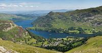
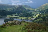
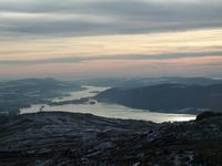
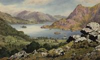
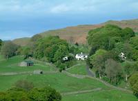
| Description: | Located in northwest England, the English Lake District is a mountainous area, whose valleys have been modelled by glaciers in the Ice Age and subsequently shaped by an agro-pastoral land-use system characterized by fields enclosed by walls. The combined work of nature and human activity has produced a harmonious landscape in which the mountains are mirrored in the lakes. Grand houses, gardens and parks have been purposely created to enhance the beauty of this landscape. This landscape was greatly appreciated from the 18th century onwards by the Picturesque and later Romantic movements, which celebrated it in paintings, drawings and words. It also inspired an awareness of the importance of beautiful landscapes and triggered early efforts to preserve them. --WHMNet's description is from WHC Site, where additional information is available. CC BY-SA 3.0. |
|
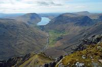
| The Lake District, also known as the Lakes or Lakeland, is a mountainous region in North West England. A popular holiday destination, it is famous for its lakes, forests and mountains (or fells) and its associations with the early 19th century writings of William Wordsworth and the other Lake Poets, Beatrix Potter and John Ruskin. Covering an area of approximately 2,362 square kilometres, the region was designated as a UNESCO World Heritage Site in 2017. It is located entirely within the county of Cumbria, and all the land in England higher than 3,000 feet (910 m) above sea level lies within the National Park, including Scafell Pike, the highest mountain in England. It also contains the deepest and longest bodies of water in England, respectively Wast Water and Windermere. --Wikipedia. Text is available under the Creative Commons Attribution-ShareAlike License. | ||
| Source: | http://whc.unesco.org/en/list/422. Description is available under license CC-BY-SA IGO 3.0 | |
| Source2: | Wikipedia (http://wikipedia.com) | |
| Reference: | 1. UNESCO World Heritage Center (http://whc.unesco.org/en/list/422). 2. Wikipedia. | |


