You are in: Africa -> Zimbabwe -> Matobo Hills, and traditional search or Image Gallery will yield results of this site only
Matobo Hills
| Site number: | 306 |
|
| Type of site: | Cultural | |
| Date: | Stone Age | |
| Date of Inscription: | 2003 | |
| Location: | Africa, Zimbabwe, Matebeleland, South Province | |
Up to 75 images are shown here. Click on each for more details or on Image Gallery for more images.
Six official UN languages:
Arabic,
Chinese,
English,
French,
Russian,
Spanish
Other languages: Croatian, Dutch, Finnish, German, Italian, Japanese, Lithuanian, Norwegian-bokmål, Polish, Portuguese, Serbian, Swedish, Vietnamese
Other languages: Croatian, Dutch, Finnish, German, Italian, Japanese, Lithuanian, Norwegian-bokmål, Polish, Portuguese, Serbian, Swedish, Vietnamese
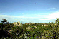
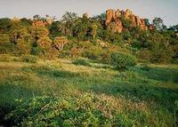
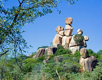
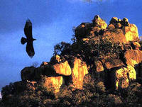
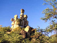
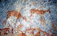
| Description: | The Matobo Hills display an abundance of distinguishing rock landforms towering above the granite shield that clothes most of Zimbabwe. The great boulders offer copious natural shelters and have been occupied by humans since the early Stone Age all through to early historical times, and occasionally since. They also highlight an excellent rock painting collection. To this day the Matobo Hills continue to present a center for the local community; they still use shrines and sacred places strongly connected to traditional, social and economic activities. --WHMNet paraphrase from the description at WHC Site, where additional information is available. | |
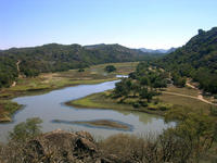
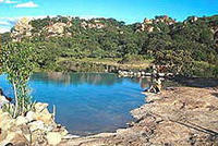
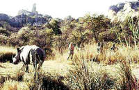
| The Matobo National Park forms the core of the Matobo or Matopos Hills, an area of granite kopjes and wooded valleys commencing some 35 kilometres south of Bulawayo, southern Zimbabwe. The Hills were formed over 2000 million years ago with granite being forced to the surface, this has eroded to produce smooth "whaleback dwalas" and broken kopjes, strewn with boulders and interspersed with thickets of vegetation. Mzilikazi, founder of the Ndebele nation, gave the area its name, meaning 'Bald Heads'. The Hills cover an area of about 3100 km², of which 424 km² is National Park, the remainder being largely communal land and a small proportion of commercial farmland. The park covers some beautiful scenery including some spectacular balancing rocks and impressive views along the Thuli, Mtshelele, Maleme and Mpopoma river valleys. Part of the national park is set aside as a 100 km² game park, which has been stocked with game including black and white rhinoceros. The highest point in the hills is the promontory named Gulati (1549 m) just outside the north-eastern corner of the park. Administratively, Matobo National Park incorporates the Lake Matopos Recreational Park, being the area around Hazelside, Sandy Spruit and Lake Matopos. --Wikipedia. Text is available under the Creative Commons Attribution-ShareAlike License. | ||
| Source: | http://whc.unesco.org/en/list/306 | |
| Reference: | 1. UNESCO World Heritage Center, Site Page. | |


