You are in: Asia -> Korea, Republic of -> Namhansanseong, and traditional search or Image Gallery will yield results of this site only
Namhansanseong
| Site number: | 1439 |
|
| Type of site: | Cultural | |
| Date: | 7-17th centuries | |
| Date of Inscription: | 2014 | |
| Location: | Asia, Korea, south-east of Seoul | |
Up to 75 images are shown here. Click on each for more details or on Image Gallery for more images.
Six official UN languages:
Chinese,
English,
French,
Russian,
Spanish
Other languages: Basa Jawa, Croatian, Dutch, German, Hungarian, Indonesian, Japanese, Korean, Vietnamese
Other languages: Basa Jawa, Croatian, Dutch, German, Hungarian, Indonesian, Japanese, Korean, Vietnamese
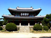
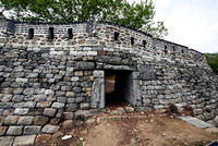
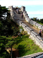
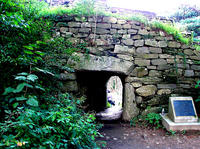
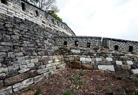
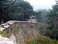
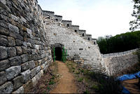
| Description: | Namhansanseong was designed as an emergency capital for the Joson dynasty (1392–1910), in a mountainous site 25 km south-east of Seoul. Built and defended by Buddhist monk-soldiers, it could accommodate 4,000 people and fulfilled important administrative and military functions. Its earliest remains date from the 7th century, but it was rebuilt several times, notably in the early 17th century in anticipation of an attack from the Sino-Manchu Qing dynasty. The city embodies a synthesis of the defensive military engineering concepts of the period, based on Chinese and Japanese influences, and changes in the art of fortification following the introduction from the West of weapons using gunpowder. A city that has always been inhabited, and which was the provincial capital over a long period, it contains evidence of a variety of military, civil and religious buildings and has become a symbol of Korean sovereignty. --From the description at WHC Site, where additional information is available. | |
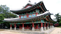
| Namhansanseong (literally "South Han Mountain Fortress") is a major park and UNESCO World Heritage Site located at an elevation of 480m above sea level, immediately to the southeast of Seoul. It stands on the Namhansan ("South Han Mountain"), containing fortifications that date back to the 17th century, and a number of temples. It can be accessed easily from Seoul through Namhansanseong Station of Seoul Subway Line 8. --Wikipedia. Text is available under the Creative Commons Attribution-ShareAlike License. | ||
| Source: | http://whc.unesco.org/en/list/1439 | |
| Source2: | Wikipedia (http://wikipedia.com) | |
| Reference: | 1. UNESCO World Heritage Center (http://whc.unesco.org/en/list/1439). 2. Wikipedia. | |


