You are in: Asia -> Vietnam -> Trang An Landscape C... , and traditional search or Image Gallery will yield results of this site only
Trang An Landscape Complex
| Site number: | 1438 |
|
| Type of site: | Mixed | |
| Date: | 10-11th centuries | |
| Date of Inscription: | 2014 | |
| Location: | Asia, Vietnam, Red River Delta, Trang An | |
Up to 75 images are shown here. Click on each for more details or on Image Gallery for more images.
Six official UN languages:
English,
French
Other languages: Croatian, Italian, Malay (Baahasa Malay), Vietnamese
Other languages: Croatian, Italian, Malay (Baahasa Malay), Vietnamese
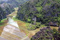
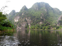
| Description: | Situated on the southern shore of the Red River Delta, Trang An is a spectacular landscape of limestone karst peaks permeated with valleys, some of which are submerged, and surrounded by steep, almost vertical cliffs. Exploration of some of the highest altitude caves dotted across the landscape has revealed archaeological traces of human activity dating back almost 30,000 years. They illustrate the occupation of these mountains by hunter-gatherers and how they adapted to climatic and environmental changes. The property also includes Hoa Lu, the old capital of Viet Nam in the 10th and 11th centuries AD, as well as temples, pagodas, paddy-field landscapes, with villages and sacred sites. --From the description at WHC Site, where additional information is available. | |
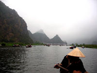
| Tràng An is a scenic area near Ninh Bình, Vietnam renowned for its boat cave tours. On 23 June 2014 at the 38th session held in Doha, Trang An Scenic Landscape Complex was inscribed on the UNESCO World Heritage Site. Trang An Scenic Landscape Complex included Hoa Lư, Tam Cốc-Bích Động, Bai Dinh Temple. --Wikipedia. Text is available under the Creative Commons Attribution-ShareAlike License. | ||
| Source: | http://whc.unesco.org/en/list/1438 | |
| Source2: | Wikipedia (http://wikipedia.com) | |
| Reference: | 1. UNESCO World Heritage Center (http://whc.unesco.org/en/list/1438). 2. Wikipedia. | |


