You are in: North America -> Canada -> Joggins Fossil Cliffs, and traditional search or Image Gallery will yield results of this site only
Joggins Fossil Cliffs
| Site number: | 1285 |
|
| Type of site: | Natural | |
| Date: | Carboniferous | |
| Date of Inscription: | 2008 | |
| Location: | North America, Canada, Nova Scotia, western Cumberland County | |
Up to 75 images are shown here. Click on each for more details or on Image Gallery for more images.
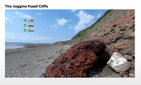
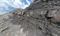
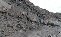
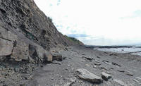
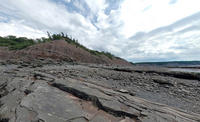
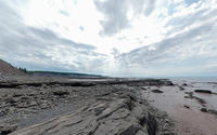
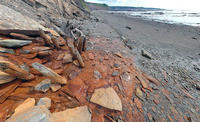
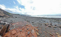
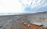
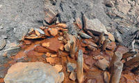
| Description: | Along the coast of Nova Scotia (eastern Canada) sits a 689 ha palaeontological site-The Joggins Fossil Cliffs, which have been described as the “coal age Galápagos” as a result of their fossil wealth dating to the Carboniferous period (354 to 290 million years ago). The site’s rocks are deemed iconic for this period of Earth’s history; they are the worlds thickest and most ample record of the Pennsylvanian strata (318 to 303 million years ago) they prove to be the most complete known fossil record of terrestrial life from that era. The records retain the remains as well as the tracks of very early animals and their residing rainforests, all left in situ, intact and undisturbed. Holding 14.7 km of sea cliffs, low bluffs, rock platforms and beach, the site retains three ecosystems (estuarine bay, floodplain rainforest and fire prone forested alluvial plain with freshwater pools). The site holds the richest assemblage known of the three ecosystems’ fossil life, with 96 genera and 148 species of fossils as well as 20 footprint groups. The site contains outstanding examples representing major stages of Earth’s history. --WHMNet paraphrase from the description at WHC Site, where additional information is available. For 360 degree imaging of this site, click here. | |
| Joggins is a Canadian rural community located in western Cumberland County, Nova Scotia. Situated on the Cumberland Basin, a sub-basin of the Bay of Fundy, Joggins is a former coal mining area. Its coal seams which are exposed along the shore of the Cumberland Basin were exploited as early as the 17th century by local Acadian settlers, however the first commercial mining dates to 1819 with much of the early production being shipped by sea to Saint John, New Brunswick and other markets. Large scale industrialization came to Cumberland County under the General Mining Association, which held the rights to the area's coal fields. Production increased after the construction of the Intercolonial Railway in the 1870s, followed by the 1887 opening of the Joggins Railway, a 12 mile rail line from mines at Joggins to the Intercolonial mainline at Maccan, via River Hebert. Coal mining grew in such importance that the community was incorporated as a town in 1919, a status that it maintained until 1949, when the decline of local coal mines resulted in out migration and economic decline.Coal mined at Joggins during the first decades of the 20th century primarily fed 2 electrical generating stations near Maccan, however these plants were outdated by the 1950s and the mines closed shortly after the Springhill Mining Disaster in 1958. Rail service was abandoned to the community in the early 1960s. --Wikipedia. Text is available under the Creative Commons Attribution-ShareAlike License. For 360 degree imaging of this site, click here. | ||
| Source: | http://whc.unesco.org/en/list/1285 | |
| Reference: | 1. UNESCO World Heritage Center, Site Page. | |


